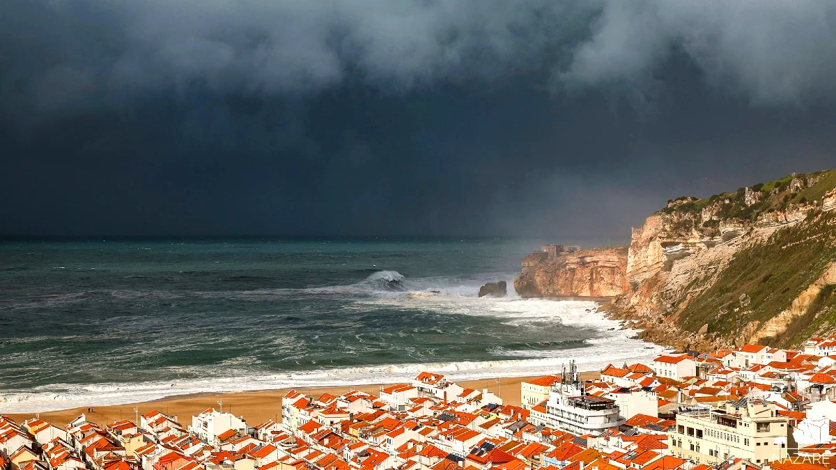
Portugal is preparing for several days of unsettled weather as Storm Bruna is expected to arrive on Sunday, November 8, 2026. Heavy rainfall, thunderstorms, strong winds and waves reaching up to five metres are forecast by the Portuguese Institute for Sea and Atmosphere (IPMA). In some mountainous areas, accumulated rainfall could exceed 200 millimetres by Friday, November 13.
The weather system is expected to affect mainland Portugal, as well as Madeira and the Azores. Eight mainland districts are already under a yellow weather warning this Friday, November 6, while Madeira is expected to move to an orange warning on Saturday evening due to heavy rain and strong winds.
According to the official forecasts published by IPMA, unsettled conditions could continue until at least the end of next week, as a succession of Atlantic weather fronts moves across the country.
Parts of Portugal could receive more than 200 mm of rainfall
Storm Bruna is centred north of the Azores archipelago, within a large low-pressure system where several disturbances are expected to develop over the coming days.
Its first significant effects on mainland Portugal are forecast for Sunday morning, when an approaching weather front is expected to bring periods of rain, sometimes heavy and accompanied by thunderstorms.
Rainfall is expected to continue intermittently until Friday, November 13, with more intense periods as successive frontal systems cross the country.
IPMA warns that accumulated rainfall could exceed 200 millimetres, particularly in mountainous regions. This is equivalent to 200 litres of water per square metre over several days, rather than a single day of rainfall.
These figures do not apply uniformly across Portugal. The heaviest precipitation is expected in areas where local geography and the movement of Atlantic fronts favour greater rainfall accumulation.
Such conditions could increase the risk of surface flooding, rapid rises in river levels and localised disruption, especially where heavy rain falls over a short period. The actual impact will depend on the intensity and trajectory of the successive weather systems.
Strong winds and waves reaching five metres
Rain will not be the only concern as Bruna approaches.
Southerly winds are expected to strengthen from Sunday, with gusts potentially reaching 70 km/h along Portugal’s western coastline and in higher-altitude areas.
Sea conditions are also forecast to deteriorate.
Along the west coast, south-westerly waves measuring between one and two metres on Saturday could increase to four or five metres by Monday, November 9.
Conditions in the Algarve are expected to be less severe, although the region will still experience stronger swell. Waves of between one and 1.5 metres are forecast for Sunday, rising to two or three metres on Monday.
These conditions could make exposed beaches, rocky shorelines, harbour walls and coastal promenades particularly hazardous. Maritime activities may also be affected as the swell intensifies.
8 districts under yellow warning as Madeira faces orange alert
Weather warnings have already been issued for several regions ahead of the main period of instability.
Porto, Braga, Viana do Castelo, Aveiro, Coimbra, Leiria, Lisbon and Setúbal are under yellow warnings for heavy showers and possible thunderstorms from 3 pm on Friday, November 6, until midnight.
Madeira is expected to experience more severe conditions on Saturday, November 7.
IPMA has issued an orange warning for heavy and persistent rainfall between 6 pm on Saturday and 3 am on Sunday. Strong winds will also trigger an orange warning on Saturday evening.
According to the meteorological institute, rainfall totals in Madeira could exceed 90 millimetres over two days. Wind gusts may reach 110 km/h in some mountainous areas, while waves along the island’s southern coast could reach three to four metres on Sunday.
The Azores are also being affected by the wider depression system. São Miguel and Santa Maria, the two islands in the eastern group, are under a yellow warning for heavy precipitation on Friday evening.
These warnings reflect the forecasts issued ahead of the weather event and may change as conditions develop.
Unsettled weather expected until at least November 13
Rather than a single storm passing quickly over the country, Bruna is expected to bring several successive Atlantic weather fronts, prolonging unstable conditions across mainland Portugal and the autonomous regions.
The intensity of rainfall, wind and coastal conditions will vary between locations and from one day to another.
IPMA has indicated that further weather warnings may be issued depending on the evolution of the depression and the expected intensity of each frontal system.
Residents and visitors are therefore advised to monitor the latest IPMA weather warnings and follow guidance from Portugal’s civil protection authorities, particularly before travelling through areas exposed to heavy rainfall, strong winds or dangerous sea conditions.
The forecasts described above were issued on November 6, 2026, and remain subject to change as Storm Bruna approaches Portugal.